Loading...
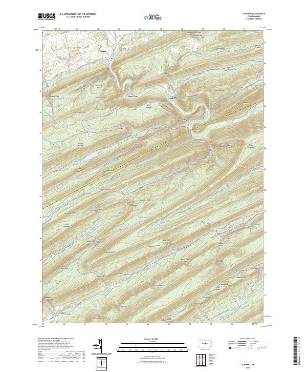
Loading map...2023 Map of Coburn
USGS Topo · Published 2023About this map
Coburn sits at the northern edge of this study, where Penns Creek meets Elk Creek in the broad expanse of Penns Valley. The landscape is dominated by the rhythmic ridges and valleys of central Pennsylvania, characterized by long, narrow mountains like Big Poe Mountain and Paddy Mountain that run parallel to one another. These ridges enclose isolated pockets of activity, including the small settlement of Ingleby and the recreational area around Poe Lake.
Find a feature on this map
122 named features on this map. Tap any name to fly to it.
Don’t see what you’re looking for? This feature index may not catch every label — zoom into the map to look around manually.
Map Details
Date Portrayed2023
Date Published2023
PublisherU.S. Geological Survey
Map TypeTopographic
Scale1:24000
Physical Dimensions24 x 29 inches
Editions of this 2023 Coburn Map
This is the sole edition of this map. No revisions or reprints were ever made.
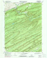
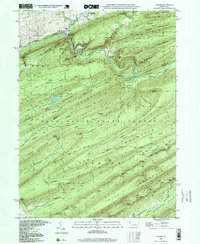
Historical Maps of Ingleby Through Time
4 maps found
Featured Locations
- Decatur Township, PA
- Haines Township, PA
- Penn Township, PA
- Coburn, Penn Township
- Penn View, Penn Township
Source Details
SourceU.S. Geological Survey
CopyrightPublic Domain