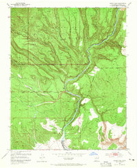
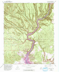
1953 Map of Cochiti Dam
USGS Topo · Published 1965About this map
Bandelier National Monument dominates the northern reaches of this landscape, where the high mesa is carved by a succession of deep drainages including Capulin Canyon, Hondo Canyon, and Alamo Canyon. The map reveals a high density of ancestral sites, specifically marking numerous Pueblo Ruins and the notable San Miguel Ruin west of the Rio Grande. This era of mapping precedes the large-scale inundation of the river valley, showing the original course of the water and the early positioning of Cochiti Dam.
Find a feature on this map
43 named features on this map. Tap any name to fly to it.
Don’t see what you’re looking for? This feature index may not catch every label — zoom into the map to look around manually.
Map Details
Editions of this 1953 Cochiti Dam Map
6 editions found
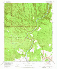
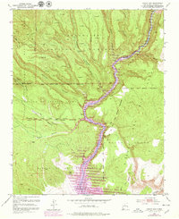
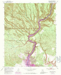
Other maps of this area

1892 · Santa Clara
USGS Topo · 1:125,000

1952 · White Rock
USGS Topo · 1:24,000

1952 · Frijoles
USGS Topo · 1:24,000

1952 · Montoso Peak
USGS Topo · 1:24,000

1953 · Cochiti Dam
USGS Topo · 1:24,000

1953 · Santo Domingo Pueblo
USGS Topo · 1:24,000

1953 · Bland
USGS Topo · 1:24,000

1953 · Tetilla Peak
USGS Topo · 1:24,000

1953 · Santo Domingo Pueblo SW
USGS Topo · 1:24,000

1953 · Canada
USGS Topo · 1:24,000