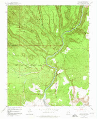
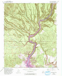
1953 Map of Cochiti Dam
USGS Topo · Published 1974About this map
Ancient settlements and rugged land grants define this landscape along the Rio Grande as it flows through Sandoval County. The northern reaches are dominated by Bandelier National Monument, where numerous Pueblo Ruins are documented among the mesas and canyons, including the prominent Painted Cave in Capulin Canyon. These archaeological sites stand in contrast to the mid-century infrastructure developing further south, marked by the site of Cochiti Dam and the Cochiti East Side Main Canal.
Find a feature on this map
39 named features on this map. Tap any name to fly to it.
Don’t see what you’re looking for? This feature index may not catch every label — zoom into the map to look around manually.
Map Details
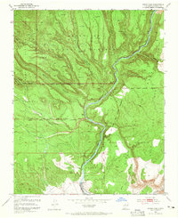
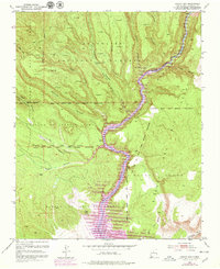
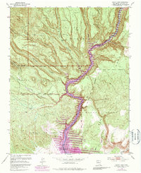
Editions of this 1953 Cochiti Dam Map
6 editions found
Other maps of this area

1892 · Santa Clara
USGS Topo · 1:125,000

1952 · White Rock
USGS Topo · 1:24,000

1952 · Frijoles
USGS Topo · 1:24,000

1952 · Montoso Peak
USGS Topo · 1:24,000

1953 · Cochiti Dam
USGS Topo · 1:24,000

1953 · Santo Domingo Pueblo
USGS Topo · 1:24,000

1953 · Bland
USGS Topo · 1:24,000

1953 · Tetilla Peak
USGS Topo · 1:24,000

1953 · Santo Domingo Pueblo SW
USGS Topo · 1:24,000

1953 · Canada
USGS Topo · 1:24,000