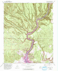
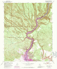
1953 Map of Cochiti Dam
USGS Topo · Published 1993About this map
Rio Grande canyon lands and ancestral land grants define this high-altitude landscape between the Jemez Mountains and the river. The canyon-cut plateaus of the Bandelier National Monument and Bandelier Wilderness dominate the northern terrain, featuring landmarks such as the Painted Cave and St Peters Dome. The map illustrates the complex overlapping jurisdictions of the Pueblo de Cochiti Grant, Cañada de Cochiti Grant, and La Majada Grant, reflecting the region's deep history of settlement and territorial division. The 1990s-era purple updates show the significant footprint of the Cochiti Dam and the resulting Cochiti Lake, which altered the drainage patterns of the Cochiti Rio and created new shorelines for the Cochiti Recreation Area. Evidence of past industry persists in canyon bottoms at Bland and via scattered prospects in the western reaches.
Find a feature on this map
50 named features on this map. Tap any name to fly to it.
Don’t see what you’re looking for? This feature index may not catch every label — zoom into the map to look around manually.
Map Details
Editions of this 1953 Cochiti Dam Map
6 editions found
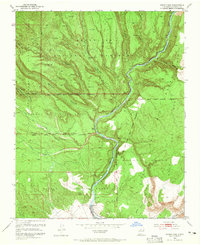
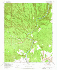
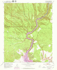
Other maps of this area

1892 · Santa Clara
USGS Topo · 1:125,000

1952 · White Rock
USGS Topo · 1:24,000

1952 · Frijoles
USGS Topo · 1:24,000

1952 · Montoso Peak
USGS Topo · 1:24,000

1953 · Cochiti Dam
USGS Topo · 1:24,000

1953 · Santo Domingo Pueblo
USGS Topo · 1:24,000

1953 · Bland
USGS Topo · 1:24,000

1953 · Tetilla Peak
USGS Topo · 1:24,000

1953 · Santo Domingo Pueblo SW
USGS Topo · 1:24,000

1953 · Canada
USGS Topo · 1:24,000