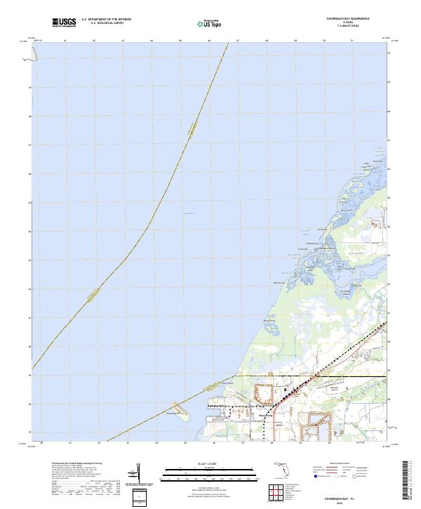
2024 Map of Cockroach Bay
USGS Topo · Published 2024About this map
The complex shoreline of the eastern shore of Tampa Bay reveals a landscape defined by intricate waterways and industrial infrastructure. This modern survey details the transition from the aquatic environments of Cockroach Bay and the Cockroach Bay Aquatic Preserve Trl to the developed sections of Piney Point. The topography is characterized by a series of keys and islands, including the curiously named Dung Islet, Manbirtee Key, and the Hallelujah Keys.
Find a feature on this map
81 named features on this map. Tap any name to fly to it.
Don’t see what you’re looking for? This feature index may not catch every label — zoom into the map to look around manually.
Map Details
Editions of this 2024 Cockroach Bay Map
This is the sole edition of this map. No revisions or reprints were ever made.
Other maps of this area

1921 · Tampa
USGS Topo · 1:62,500

1921 · Fort De Soto
USGS Topo · 1:62,500

1921 · St Petersburg
USGS Topo · 1:62,500

1942 · Cockroach Bay
USGS Topo · 1:31,680

1943 · St Petersburg
USGS Topo · 1:31,680

1943 · Pass-A-Grille
USGS Topo · 1:31,680

1943 · Port Tampa
USGS Topo · 1:31,680

1944 · Anna Maria
USGS Topo · 1:31,680

1944 · Ruskin
USGS Topo · 1:31,680

1944 · Ellenton
USGS Topo · 1:31,680