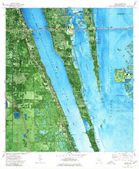
1976 Map of Cocoa
USGS Topo · Published 1977About this map
Merritt Island sits at the heart of this mid-1970s coastal survey, revealing a landscape defined by its intricate waterways and the growing infrastructure of the Space Coast. The Indian River and Banana River flank the island, connected by the Intracoastal Waterway and the Sykes Creek system. The mainland settlements of Cocoa and Rockledge show established residential grids, while the island's interior features more specialized land use, including the Merritt Island Airport and the Rockledge Country Club.
Find a feature on this map
47 named features on this map. Tap any name to fly to it.
Don’t see what you’re looking for? This feature index may not catch every label — zoom into the map to look around manually.
Map Details
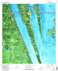
Editions of this 1976 Cocoa Map
2 editions found
Other maps of this area

1949 · Courtenay
USGS Topo · 1:24,000

1949 · Eau Gallie
USGS Topo · 1:24,000

1949 · Sharpes
USGS Topo · 1:24,000

1949 · Cocoa
USGS Topo · 1:24,000

1949 · Cocoa Beach
USGS Topo · 1:24,000

1949 · Tropic
USGS Topo · 1:24,000

1951 · Eau Gallie
USGS Topo · 1:24,000

1951 · Cocoa
USGS Topo · 1:24,000

1951 · Courtenay
USGS Topo · 1:24,000

1951 · Sharpes
USGS Topo · 1:24,000