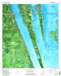
1976 Map of Cocoa
USGS Topo · Published 1990About this map
Cocoa and Rockledge anchor the mainland shore in this mid-1970s orthophotomap, showing the developed coastal corridor before decades of further suburban expansion. This unique hybrid map combines traditional topographic data with aerial photography, revealing the intricate water systems of the Indian River and the Banana River. The landscape is dominated by Merritt Island, where smaller communities like Angel City, Rockwell, and Georgiana are visible alongside the Merritt Island Airport.
Find a feature on this map
37 named features on this map. Tap any name to fly to it.
Don’t see what you’re looking for? This feature index may not catch every label — zoom into the map to look around manually.
Map Details
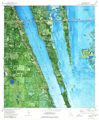
Editions of this 1976 Cocoa Map
2 editions found
Other maps of this area

1949 · Courtenay
USGS Topo · 1:24,000

1949 · Eau Gallie
USGS Topo · 1:24,000

1949 · Sharpes
USGS Topo · 1:24,000

1949 · Cocoa
USGS Topo · 1:24,000

1949 · Cocoa Beach
USGS Topo · 1:24,000

1949 · Tropic
USGS Topo · 1:24,000

1951 · Eau Gallie
USGS Topo · 1:24,000

1951 · Cocoa
USGS Topo · 1:24,000

1951 · Courtenay
USGS Topo · 1:24,000

1951 · Sharpes
USGS Topo · 1:24,000