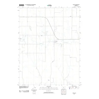
2009 Map of Codell
USGS Topo · Published 2009About this map
Codell serves as the central community in this rural Kansas landscape, where the town site is organized along 4th St and AA Rd. This 2009 survey highlights a tradition of scattered rural burial grounds that speak to the area’s genealogy, including Shiloh Cemetery in the northeast, Center Cemetery near the heart of the township, and Conger Cemetery situated further west. The topography is defined by the winding course of Paradise Creek, which meanders across the central portion of the quadrangle, and the distinct elevation of King Hill to the south. A rigid grid of section-line roads, such as Codell Rd and 21 Rd, facilitates travel through the agricultural surroundings, connecting remote farmsteads to the primary settlement and providing a clear view of the land division common to this part of Rooks County.
Find a feature on this map
20 named features on this map. Tap any name to fly to it.
Don’t see what you’re looking for? This feature index may not catch every label — zoom into the map to look around manually.
Map Details
Editions of this 2009 Codell Map
This is the sole edition of this map. No revisions or reprints were ever made.
Other maps of this area

1896 · Plainville
USGS Topo · 1:125,000

1955 · Beloit
USGS Topo · 1:250,000

1959 · Beloit
USGS Topo · 1:250,000
1978 · Natoma
USGS Topo · 1:24,000

1978 · Plainville
USGS Topo · 1:24,000
1978 · Codell
USGS Topo · 1:24,000
1978 · Twin Mound
USGS Topo · 1:24,000
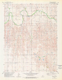
1978 · Turkville
USGS Topo · 1:24,000
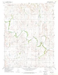
1978 · Fairport
USGS Topo · 1:24,000
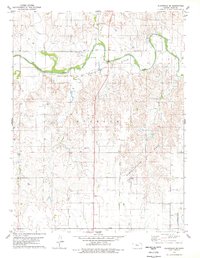
1978 · Plainville SE
USGS Topo · 1:24,000