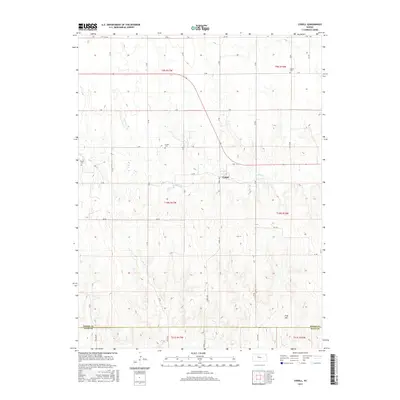
2015 Map of Codell
USGS Topo · Published 2015About this map
The settlement of Codell is the central point of this survey, located along the winding course of Paradise Cr. The landscape transitions from the relatively level agricultural tracts of the northern Rooks County townships into the more dissected terrain of the southern section, marked by King Hill. This area is punctuated by historical burial sites including Center Cem, Shiloh Cem, and Conger Cem, providing essential markers for genealogical research in this part of Kansas. The township and range boundaries of t9s r17w and t10s r16w delineate the rural section lines, while the border of Rooks and Ellis Counties runs along the southern edge of the sheet. The map illustrates a highly organized grid of rural routes such as Codell RD and Aa RD that serve the outlying farmsteads.
Find a feature on this map
35 named features on this map. Tap any name to fly to it.
Don’t see what you’re looking for? This feature index may not catch every label — zoom into the map to look around manually.
Map Details
Editions of this 2015 Codell Map
This is the sole edition of this map. No revisions or reprints were ever made.
Other maps of this area

1896 · Plainville
USGS Topo · 1:125,000

1955 · Beloit
USGS Topo · 1:250,000

1959 · Beloit
USGS Topo · 1:250,000
1978 · Natoma
USGS Topo · 1:24,000

1978 · Plainville
USGS Topo · 1:24,000
1978 · Codell
USGS Topo · 1:24,000
1978 · Twin Mound
USGS Topo · 1:24,000
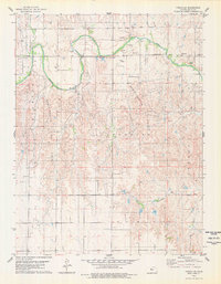
1978 · Turkville
USGS Topo · 1:24,000
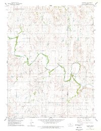
1978 · Fairport
USGS Topo · 1:24,000
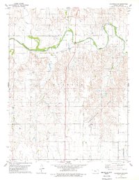
1978 · Plainville SE
USGS Topo · 1:24,000