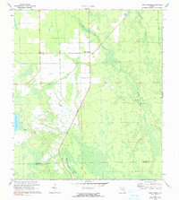
1972 Map of Codys Corner
USGS Topo · Published 1990About this map
Codys Corner and the small settlement of Deanville anchor this map of the low-lying wetlands and pine flatwoods at the intersection of Flagler and Volusia counties. The landscape is defined by an intricate drainage system where Middle Haw Creek and Little Haw Creek converge toward the western edge of the quadrangle near the shores of Lake Disston. Human activity is concentrated along the straight lines of the regional road network and the Parker Canal, contrasted by the organic, winding paths of numerous Jeep Trails and a traditional Trail that cut through the denser vegetation. The presence of a Lookout Tower and a Radio Tower suggests the importance of fire surveillance and communication in this wooded interior, while the named area of Heart Island rises slightly above the surrounding marshy terrain of the Sweetwater Branch drainage.
Find a feature on this map
14 named features on this map. Tap any name to fly to it.
Don’t see what you’re looking for? This feature index may not catch every label — zoom into the map to look around manually.
Map Details
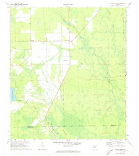
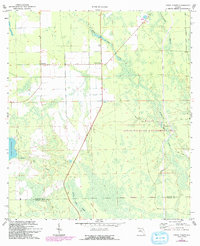
Editions of this 1972 Codys Corner Map
3 editions found
Other maps of this area

1937 · Ormond
USGS Topo · 1:48,000

1944 · Ormond
USGS Topo · 1:62,500

1954 · Daytona Beach
USGS Topo · 1:250,000

1956 · Favoretta
USGS Topo · 1:24,000

1956 · Flagler Beach West
USGS Topo · 1:24,000

1958 · Daytona Beach
USGS Topo · 1:250,000

1962 · Daytona Beach NW
USGS Topo · 1:24,000

1964 · Daytona Beach
USGS Topo · 1:250,000

1970 · Seville
USGS Topo · 1:24,000
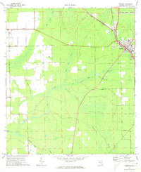
1970 · Bunnell
USGS Topo · 1:24,000