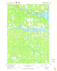
1978 Map of Coffee Creek
USGS Topo · Published 1979About this map
Spirit River Flowage and Lake Mohawksin dominate this landscape in Lincoln County, where the industrial and recreational character of the Northwoods is clearly defined. The area around Tomahawk and the settlement of Bradley shows a complex network of water management, featuring the Jersey City Flowage and the Somo Dam Road. The legacy of the region's timber and transport history is visible in the Marinette Tomahawk and Western Railroad Grade and the presence of the Cranberry Bog near West Kraft.
Find a feature on this map
44 named features on this map. Tap any name to fly to it.
Don’t see what you’re looking for? This feature index may not catch every label — zoom into the map to look around manually.
Map Details
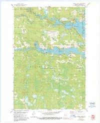
Editions of this 1978 Coffee Creek Map
2 editions found
Other maps of this area

1939 · Mc Cord
USGS Topo · 1:48,000

1939 · Cassian
USGS Topo · 1:48,000

1942 · Cassian
USGS Topo · 1:48,000

1947 · Mc Cord
USGS Topo · 1:48,000

1950 · Tomahawk
USGS Topo · 1:48,000

1950 · Spirit Falls
USGS Topo · 1:48,000

1952 · Spirit Falls
USGS Topo · 1:48,000

1952 · Tomahawk
USGS Topo · 1:48,000

1954 · Iron Mountain
USGS Topo · 1:250,000

1959 · Iron Mountain
USGS Topo · 1:250,000