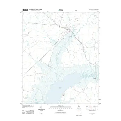
2012 Map of Coffeeville
USGS Topo · Published 2012About this map
Coffeeville stands at the center of this landscape, its residential streets such as Depot St, Tennessee St, and Front St marking the town's historical layout. To the south, the expansive waters of Grenada Lake dominate the geography, partially submerging the terrain around Bryant and creating a complex shoreline at Turkey Creek. This intersection of managed water and established settlement illustrates the shift in Yalobusha County topography following major mid-century reservoir projects.
Find a feature on this map
76 named features on this map. Tap any name to fly to it.
Don’t see what you’re looking for? This feature index may not catch every label — zoom into the map to look around manually.
Map Details
Editions of this 2012 Coffeeville Map
This is the sole edition of this map. No revisions or reprints were ever made.
Other maps of this area

1953 · West Point
USGS Topo · 1:250,000

1954 · Grenada
USGS Topo · 1:62,500

1954 · Oakland
USGS Topo · 1:62,500

1954 · Water Valley
USGS Topo · 1:62,500

1955 · Water Valley
USGS Topo · 1:62,500

1955 · Coffeeville
USGS Topo · 1:62,500

1956 · Tupelo
USGS Topo · 1:250,000

1958 · Tupelo
USGS Topo · 1:250,000

1958 · West Point
USGS Topo · 1:250,000

1963 · West Point
USGS Topo · 1:250,000