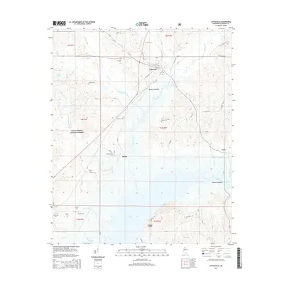
2015 Map of Coffeeville
USGS Topo · Published 2015About this map
Coffeeville serves as the primary hub of this north-central Mississippi landscape, situated just north of the expansive Grenada Lake shoreline. The town's grid, including Tennessee Ave and Depot St, reflects its development as a local crossroads. The surrounding Yalobusha County terrain is defined by a dense network of watercourses like Turkey Creek and Okachickima Cr, which carve through the timbered tracts of the Holly Springs National Forest.
Find a feature on this map
79 named features on this map. Tap any name to fly to it.
Don’t see what you’re looking for? This feature index may not catch every label — zoom into the map to look around manually.
Map Details
Editions of this 2015 Coffeeville Map
This is the sole edition of this map. No revisions or reprints were ever made.
Other maps of this area

1953 · West Point
USGS Topo · 1:250,000

1954 · Grenada
USGS Topo · 1:62,500

1954 · Oakland
USGS Topo · 1:62,500

1954 · Water Valley
USGS Topo · 1:62,500

1955 · Water Valley
USGS Topo · 1:62,500

1955 · Coffeeville
USGS Topo · 1:62,500

1956 · Tupelo
USGS Topo · 1:250,000

1958 · Tupelo
USGS Topo · 1:250,000

1958 · West Point
USGS Topo · 1:250,000

1963 · West Point
USGS Topo · 1:250,000