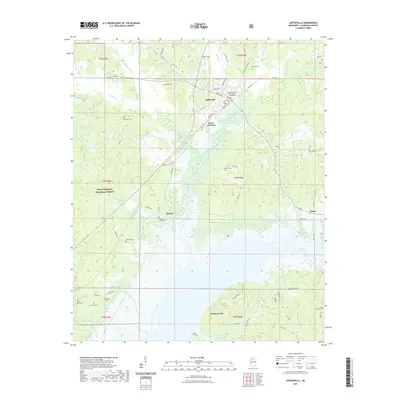
2021 Map of Coffeeville
USGS Topo · Published 2021About this map
Coffeeville serves as the focal point of this North Mississippi landscape, where the Yalobusha County Courthouse anchors the town center near the northern edge of the survey. The terrain is defined by the significant hydrological influence of Grenada Lake, which dominates the southern half of the quadrangle as the Skuna River and Turkey Creek flow into its broad basin. The map reveals a transition from the structured street grid of the county seat to the sprawling woodlands of the Holly Springs National Forest in the west.
Find a feature on this map
77 named features on this map. Tap any name to fly to it.
Don’t see what you’re looking for? This feature index may not catch every label — zoom into the map to look around manually.
Map Details
Editions of this 2021 Coffeeville Map
This is the sole edition of this map. No revisions or reprints were ever made.
Other maps of this area

1953 · West Point
USGS Topo · 1:250,000

1954 · Grenada
USGS Topo · 1:62,500

1954 · Oakland
USGS Topo · 1:62,500

1954 · Water Valley
USGS Topo · 1:62,500

1955 · Water Valley
USGS Topo · 1:62,500

1955 · Coffeeville
USGS Topo · 1:62,500

1956 · Tupelo
USGS Topo · 1:250,000

1958 · Tupelo
USGS Topo · 1:250,000

1958 · West Point
USGS Topo · 1:250,000

1963 · West Point
USGS Topo · 1:250,000