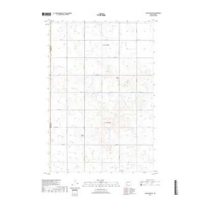
2017 Map of Coffin Buttes
USGS Topo · Published 2017About this map
Selma Union Cem sits in the southeastern corner of this North Dakota landscape, a key landmark for genealogists and local historians tracing families in this section of the Great Plains. The terrain is characterized by the prominent elevations of Coffin Buttes and Jacks Lookout, which rise above a network of seasonal watercourses and drainage basins including Brushy Cr and Alkali Cr. To the north, Pretty Rock Lake provides a rare perennial water feature in a region defined by its wide, open spaces and high-plateau geography. The map reveals the precise section-line road system that organizes the rural economy, marking the convergence of Hettinger, Adams, and Grant counties. This 2017 survey reflects the modern agricultural and ranching layout of the territory while preserving the names of high points that have served as local navigational markers for generations.
Find a feature on this map
17 named features on this map. Tap any name to fly to it.
Don’t see what you’re looking for? This feature index may not catch every label — zoom into the map to look around manually.
Map Details
Editions of this 2017 Coffin Buttes Map
This is the sole edition of this map. No revisions or reprints were ever made.
Other maps of this area

1953 · Dickinson
USGS Topo · 1:250,000

1954 · Bismarck
USGS Topo · 1:250,000

1957 · Dickinson
USGS Topo · 1:250,000

1958 · Bismarck
USGS Topo · 1:250,000

1969 · Bentley
USGS Topo · 1:24,000

1972 · Coffin Buttes
USGS Topo · 1:24,000

1972 · New Leipzig South
USGS Topo · 1:24,000

1972 · Pretty Rock Butte
USGS Topo · 1:24,000

1972 · Sheep Creek Dam
USGS Topo · 1:24,000

1972 · Pretty Rock Butte SE
USGS Topo · 1:24,000