
1972 Map of Sheep Creek Dam
USGS Topo · Published 1974About this map
Cannonball River meanders across this rural landscape in Grant and Morton counties, highlighting a period of local water management and recreational development. The central feature is the Sheep Creek Dam, which created a local reservoir and the associated Sheep Creek Dam State Recreation Area. This project, documented by the State of North Dakota Water Commission, transformed the hydrology of Sheep Creek to provide public amenities including a Boat Ramp and Picnic Area.
Find a feature on this map
11 named features on this map. Tap any name to fly to it.
Don’t see what you’re looking for? This feature index may not catch every label — zoom into the map to look around manually.
Map Details
Editions of this 1972 Sheep Creek Dam Map
This is the sole edition of this map. No revisions or reprints were ever made.
Other maps of this area

1954 · Bismarck
USGS Topo · 1:250,000

1958 · Bismarck
USGS Topo · 1:250,000

1972 · Leith
USGS Topo · 1:24,000

1972 · Wheeler Hills
USGS Topo · 1:24,000

1972 · Coffin Buttes
USGS Topo · 1:24,000

1972 · New Leipzig South
USGS Topo · 1:24,000

1972 · Pretty Rock Butte
USGS Topo · 1:24,000

1980 · Heil
USGS Topo · 1:24,000
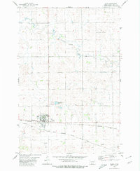
1980 · Elgin
USGS Topo · 1:24,000
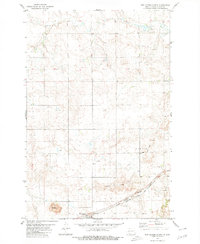
1980 · New Leipzig North
USGS Topo · 1:24,000