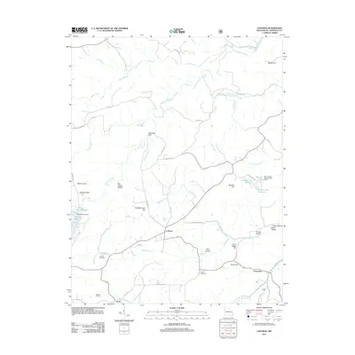
2011 Map of Coffman
USGS Topo · Published 2011About this map
Coffman and Avon anchor this interior section of Ste. Genevieve County, where the landscape is defined by the winding course of the River aux Vases and its many tributaries. The area's settlement history is preserved in several family and community burial grounds, including the Stone Church Cemetery and Mayberry Cemetery. The topography is marked by distinctive landmarks like Wild Hog Bluff and Beehive Knob, rising above valleys such as Big Spring Hollow and Herzog Hollow. Small-scale water management is evident through features like the Rainbow Lake Dam and the Brands Lake Dam Section 22 SE. This 2011 survey shows a rural environment where modern road names like Madden Creek Rd and Saline Creek Rd follow the traditional paths carved by the region's waterways, illustrating the enduring influence of the local hydrology on human movement and development.
Find a feature on this map
59 named features on this map. Tap any name to fly to it.
Don’t see what you’re looking for? This feature index may not catch every label — zoom into the map to look around manually.
Map Details
Editions of this 2011 Coffman Map
This is the sole edition of this map. No revisions or reprints were ever made.
Other maps of this area

1904 · Farmington
USGS Topo · 1:62,500

1906 · Farmington
USGS Topo · 1:62,500

1907 · Weingarten
USGS Topo · 1:62,500

1909 · Weingarten
USGS Topo · 1:62,500

1910 · Higdon
USGS Topo · 1:62,500

1939 · Fredericktown
USGS Topo · 1:48,000

1947 · Fredericktown
USGS Topo · 1:62,500

1949 · Rolla
USGS Topo · 1:250,000

1950 · Fredericktown
USGS Topo · 1:62,500

1953 · Rolla
USGS Topo · 1:250,000