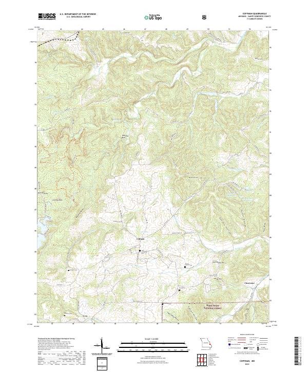
2021 Map of Coffman
USGS Topo · Published 2021About this map
Coffman serves as a central hub in this section of Sainte Genevieve County, where a network of rural routes like State Hwy WW and Madden Creek Rd converge. The landscape is defined by the winding course of the River Aux Vases and numerous named hollows, including Herzog Hollow and Opossum Hollow. For genealogists, the map is particularly detailed regarding local burial sites, showing Saint Catherine Cem near the town center and more isolated locations like Pine Log Cem and Mayberry Cem to the south.
Find a feature on this map
80 named features on this map. Tap any name to fly to it.
Don’t see what you’re looking for? This feature index may not catch every label — zoom into the map to look around manually.
Map Details
Editions of this 2021 Coffman Map
This is the sole edition of this map. No revisions or reprints were ever made.
Other maps of this area

1904 · Farmington
USGS Topo · 1:62,500

1906 · Farmington
USGS Topo · 1:62,500

1907 · Weingarten
USGS Topo · 1:62,500

1909 · Weingarten
USGS Topo · 1:62,500

1910 · Higdon
USGS Topo · 1:62,500

1939 · Fredericktown
USGS Topo · 1:48,000

1947 · Fredericktown
USGS Topo · 1:62,500

1949 · Rolla
USGS Topo · 1:250,000

1950 · Fredericktown
USGS Topo · 1:62,500

1953 · Rolla
USGS Topo · 1:250,000