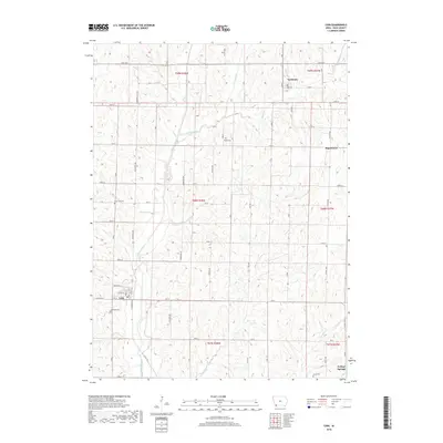
2018 Map of Coin
USGS Topo · Published 2018About this map
Coin serves as a focal point in this portion of Page County, situated at the junction of local roads and the Tarkio River. The landscape is defined by the drainage patterns of the Snake Cr and Buck Cr, which carve through the agricultural sections of t68n r38w and surrounding townships. This 2018 survey documents a region where small rural hubs like Yorktown and College Springs provide community anchors amidst a network of family-named cemeteries. Several burial sites, including Elmwood Cem, Snow Hill Cem, and Posley Cem, are dispersed throughout the townships, offering critical data points for genealogists tracing regional lineages. The survey illustrates the enduring grid of section lines and the persistence of nineteenth-century settlement patterns, from the northern reaches near Yorktown to the southern edge by Grove Cem and the outskirts of Page Center.
Find a feature on this map
42 named features on this map. Tap any name to fly to it.
Don’t see what you’re looking for? This feature index may not catch every label — zoom into the map to look around manually.
Map Details
Editions of this 2018 Coin Map
This is the sole edition of this map. No revisions or reprints were ever made.
Other maps of this area

1939 · Farragut
USGS Topo · 1:62,500

1940 · Farragut
USGS Topo · 1:62,500

1940 · Coin
USGS Topo · 1:62,500

1943 · Coin
USGS Topo · 1:62,500

1955 · Nebraska City
USGS Topo · 1:250,000

1957 · Nebraska City
USGS Topo · 1:250,000

1958 · Nebraska City
USGS Topo · 1:250,000

1978 · Shenandoah East
USGS Topo · 1:24,000

1978 · Stanton SW
USGS Topo · 1:24,000

1978 · Clarinda North
USGS Topo · 1:24,000