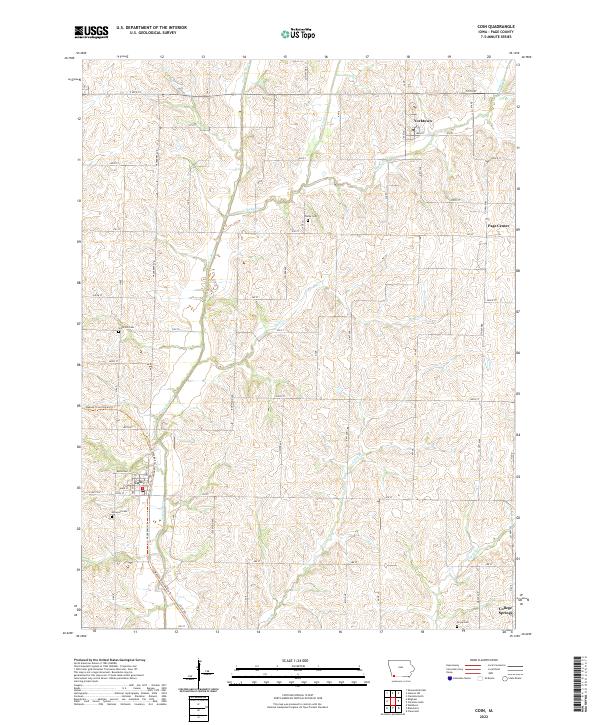
2022 Map of Coin
USGS Topo · Published 2022About this map
The Tarkio River winds through the heart of this agricultural landscape in Page County, serving as a central geographic feature for several small communities. The town of Coin is situated in the southwest, where the Wabash Trace Nature Trl follows a former rail corridor that once connected these rural outposts. Further north, Yorktown and Page Center represent traditional Iowa crossroads settlements, while College Springs occupies the southeastern corner of the map.
Find a feature on this map
41 named features on this map. Tap any name to fly to it.
Don’t see what you’re looking for? This feature index may not catch every label — zoom into the map to look around manually.
Map Details
Editions of this 2022 Coin Map
This is the sole edition of this map. No revisions or reprints were ever made.
Other maps of this area

1939 · Farragut
USGS Topo · 1:62,500

1940 · Farragut
USGS Topo · 1:62,500

1940 · Coin
USGS Topo · 1:62,500

1943 · Coin
USGS Topo · 1:62,500

1955 · Nebraska City
USGS Topo · 1:250,000

1957 · Nebraska City
USGS Topo · 1:250,000

1958 · Nebraska City
USGS Topo · 1:250,000

1978 · Shenandoah East
USGS Topo · 1:24,000

1978 · Stanton SW
USGS Topo · 1:24,000

1978 · Clarinda North
USGS Topo · 1:24,000