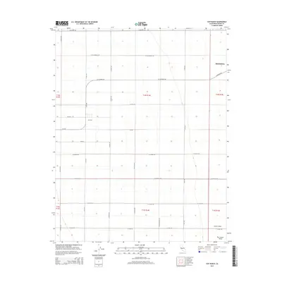
2015 Map of Coit Ranch
USGS Topo · Published 2015About this map
The vast agricultural grid of the Central Valley dominates this landscape, defined by a rigid network of section lines and irrigation-ready topography. Coit Ranch serves as a primary local landmark within this productive expanse, situated west of Mendota and the settlement of Annedale. This map illustrates the transition from the mid-20th century ranching era into the highly structured commercial farming operations of the 21st century. The terrain is notably flat, typical of the San Joaquin Valley, with transportation routes like W Whitesbridge Ave and W Panoche Rd providing essential access through the immense fields. Geographers and local historians can observe how the Public Land Survey System (PLSS) has dictated the placement of every road, from S San Diego Ave to W California Ave, creating a landscape entirely shaped by administrative planning and industrial agriculture.
Find a feature on this map
31 named features on this map. Tap any name to fly to it.
Don’t see what you’re looking for? This feature index may not catch every label — zoom into the map to look around manually.
Map Details
Editions of this 2015 Coit Ranch Map
This is the sole edition of this map. No revisions or reprints were ever made.
Other maps of this area

1913 · Panoche
USGS Topo · 1:125,000

1921 · Mendota
USGS Topo · 1:31,680

1922 · Tufts Ranch
USGS Topo · 1:31,680

1922 · Chaney Ranch
USGS Topo · 1:31,680

1923 · Levis
USGS Topo · 1:31,680

1923 · Wisdom Well
USGS Topo · 1:31,680

1923 · Englebrecht Ranch
USGS Topo · 1:31,680

1923 · Firebaugh
USGS Topo · 1:31,680

1923 · Monocline Ridge
USGS Topo · 1:31,680

1924 · Tranquillity
USGS Topo · 1:31,680