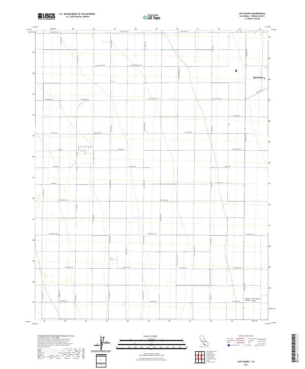
2021 Map of Coit Ranch
USGS Topo · Published 2021About this map
Mendota sits at the northeastern edge of this rectangular grid, marking a transition between the organized agriculture and the open expanses of the Central San Joaquin Valley. The landscape is defined by a dense network of sectional roads and avenues, including W Belmont Ave and Whitesbridge Ave, which facilitate the movement of goods across the valley floor. The placement of Annadale and Annedale along these corridors highlights the history of rural settlement and the methodical division of land. Significant thoroughfares like Derrick Ave and W Panoche Rd provide a clear view of the transport infrastructure essential to the region's agricultural economy. This survey documents the persistent geometry of the valley's development, where names like Riverside Ave and W American Ave trace the evolution of Fresno County's interior.
Find a feature on this map
42 named features on this map. Tap any name to fly to it.
Don’t see what you’re looking for? This feature index may not catch every label — zoom into the map to look around manually.
Map Details
Editions of this 2021 Coit Ranch Map
This is the sole edition of this map. No revisions or reprints were ever made.
Other maps of this area

1913 · Panoche
USGS Topo · 1:125,000

1921 · Mendota
USGS Topo · 1:31,680

1922 · Tufts Ranch
USGS Topo · 1:31,680

1922 · Chaney Ranch
USGS Topo · 1:31,680

1923 · Levis
USGS Topo · 1:31,680

1923 · Wisdom Well
USGS Topo · 1:31,680

1923 · Englebrecht Ranch
USGS Topo · 1:31,680

1923 · Firebaugh
USGS Topo · 1:31,680

1923 · Monocline Ridge
USGS Topo · 1:31,680

1924 · Tranquillity
USGS Topo · 1:31,680