Loading...
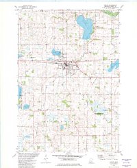
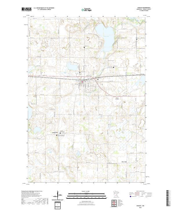
Loading map...1982 Map of Cokato
USGS Topo · Published 1982About this map
Cokato serves as a central hub in Wright County during the early 1980s, defined by its position along the Burlington Northern railroad. The map reveals a high concentration of ethnic and community burial grounds, such as Finnish Cem, Swedish Cem, and Lutheran Cem, reflecting the heritage of the settlers who established these townships. In Stockholm, the presence of the Townhall and Township Cem indicates a long-standing local civic structure.
Find a feature on this map
44 named features on this map. Tap any name to fly to it.
Don’t see what you’re looking for? This feature index may not catch every label — zoom into the map to look around manually.
Map Details
Date Portrayed1982
Date Published1982
PublisherU.S. Geological Survey
Map TypeTopographic
Scale1:24,000
Physical Dimensions21.53 x 27.23 inches
Editions of this 1982 Cokato Map
This is the sole edition of this map. No revisions or reprints were ever made.
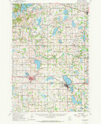
Historical Maps of Cokato Through Time
7 maps found
Featured Locations
- Middleville Township, MN
- Cokato, MN
- Victor Township, MN
- Rice Lake, Stockholm Township
- Stockholm, Stockholm Township
Source Details
SourceU.S. Geological Survey
CopyrightPublic Domain