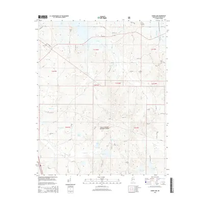
2015 Map of Coker Lake
USGS Topo · Published 2015About this map
The Holly Springs National Forest occupies the central portion of this 2015 survey, where the drainages of Tillatoba Creek and Cypress Creek carve through the landscape of Yalobusha County. To the north, the expanse of Enid Lake dominates the horizon, with its shoreline proximity influencing the local road network. The map reveals a high density of small, family-named burial grounds and churches, such as Sardinia Cemetery, Salem Cemetery, and Zion Grove Cemetery, which provide critical markers for genealogical research in this rural region.
Find a feature on this map
79 named features on this map. Tap any name to fly to it.
Don’t see what you’re looking for? This feature index may not catch every label — zoom into the map to look around manually.
Map Details
Editions of this 2015 Coker Lake Map
This is the sole edition of this map. No revisions or reprints were ever made.
Other maps of this area

1953 · West Point
USGS Topo · 1:250,000

1954 · Grenada
USGS Topo · 1:62,500

1954 · Oakland
USGS Topo · 1:62,500

1954 · Water Valley
USGS Topo · 1:62,500

1954 · Water Valley West
USGS Topo · 1:24,000

1955 · Water Valley
USGS Topo · 1:62,500

1955 · Coffeeville
USGS Topo · 1:62,500

1956 · Tupelo
USGS Topo · 1:250,000

1958 · Tupelo
USGS Topo · 1:250,000

1958 · West Point
USGS Topo · 1:250,000