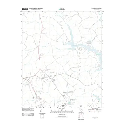
2011 Map of Cokesbury
USGS Topo · Published 2011About this map
Cokesbury and Hodges anchor this part of Greenwood County, where the landscape transitions from established agricultural crossroads to the modern recreational waters of Lake Greenwood. The area is marked by a legacy of local institutions and memorial sites, including the Old Tabernacle Cemetery and the more extensive Andrews Cemeteries. The Saluda River and Reedy River converge in the northeast, feeding the lake's branching arms like Mulberry Creek and Camp Branch.
Find a feature on this map
98 named features on this map. Tap any name to fly to it.
Don’t see what you’re looking for? This feature index may not catch every label — zoom into the map to look around manually.
Map Details
Editions of this 2011 Cokesbury Map
This is the sole edition of this map. No revisions or reprints were ever made.
Other maps of this area

1892 · Abbeville
USGS Topo · 1:125,000

1948 · Abbeville East
USGS Topo · 1:24,000

1949 · Ninety-Six
USGS Topo · 1:24,000

1949 · Greenwood
USGS Topo · 1:24,000

1950 · Abbeville East
USGS Topo · 1:24,000

1954 · Greenville
USGS Topo · 1:250,000

1958 · Greenville
USGS Topo · 1:250,000
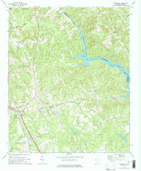
1971 · Cokesbury
USGS Topo · 1:24,000
1971 · Ware Shoals East
USGS Topo · 1:24,000
1971 · Laurens South
USGS Topo · 1:24,000