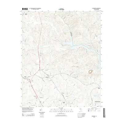
2014 Map of Cokesbury
USGS Topo · Published 2014About this map
The Saluda River and Reedy River converge in the northeast corner of this territory, forming the distinctive water body known as Buzzard Roost at the boundary of Laurens Co and Greenwood Co. This landscape is defined by the rural settlements of Cokesbury and Hodges, where historical road patterns intersect near established family and community landmarks. Genealogists will find several significant burial grounds, including the Old Tabernacle Cem and the Andrews Cemeteries, which sit among the drainage basins of Coronaca Cr and Mulberry Cr. To the south, the edge of Greenwood begins to emerge with residential developments like Roman Acres and Irving, while the northern reaches maintain a more sparse character near Ware Shoals and the confluence at The Forks.
Find a feature on this map
98 named features on this map. Tap any name to fly to it.
Don’t see what you’re looking for? This feature index may not catch every label — zoom into the map to look around manually.
Map Details
Editions of this 2014 Cokesbury Map
This is the sole edition of this map. No revisions or reprints were ever made.
Other maps of this area

1892 · Abbeville
USGS Topo · 1:125,000

1948 · Abbeville East
USGS Topo · 1:24,000

1949 · Ninety-Six
USGS Topo · 1:24,000

1949 · Greenwood
USGS Topo · 1:24,000

1950 · Abbeville East
USGS Topo · 1:24,000

1954 · Greenville
USGS Topo · 1:250,000

1958 · Greenville
USGS Topo · 1:250,000
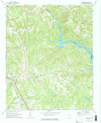
1971 · Cokesbury
USGS Topo · 1:24,000
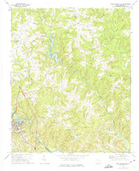
1971 · Ware Shoals East
USGS Topo · 1:24,000
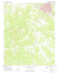
1971 · Laurens South
USGS Topo · 1:24,000