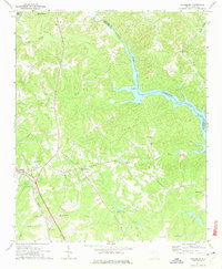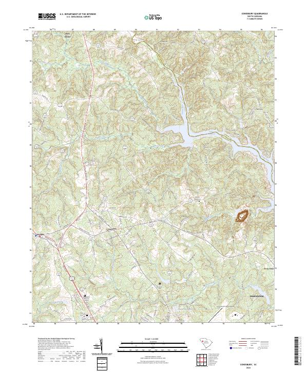
2024 Map of Cokesbury
USGS Topo · Published 2024About this map
Cokesbury serves as the historic center of this landscape, situated at the junction of local roads above the Saluda River valley. The area preserves a deep educational and religious history, evidenced by the site of Allen University and traditional burial grounds like Old Tabernacle Cem and Andrews Chapel Cem. To the north, the terrain is defined by the winding course of the Saluda River and its entry into Lake Greenwood, while the southern reaches transition into the northern outskirts of Greenwood. The mapping of small settlements such as Hodges and Stony Point highlights the traditional rural layout of the county before modern development. Notable landmarks such as Greenwood Memorial Gardens and the Greenwood County Airport reflect the modern growth of the region, while natural features like Mulberry Creek and Turkey Creek continue to shape the drainage of the Piedmont topography.
Find a feature on this map
124 named features on this map. Tap any name to fly to it.
Don’t see what you’re looking for? This feature index may not catch every label — zoom into the map to look around manually.
Map Details
Editions of this 2024 Cokesbury Map
This is the sole edition of this map. No revisions or reprints were ever made.