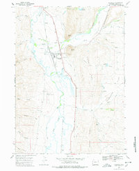
1967 Map of Cokeville
USGS Topo · Published 1978About this map
The Bear River valley near the Utah and Idaho borders defines this corner of Lincoln County, where the town of Cokeville serves as a hub for both transportation and irrigation. The Union Pacific railroad tracks and the winding river channel parallel one another through the lowlands, supported by an extensive network of water management features like the Covey Canal, Stoner Nelson Wheelock Ditch, and Bruner Ditch.
Find a feature on this map
48 named features on this map. Tap any name to fly to it.
Don’t see what you’re looking for? This feature index may not catch every label — zoom into the map to look around manually.
Map Details
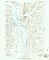
Editions of this 1967 Cokeville Map
2 editions found
Other maps of this area

1909 · Montpelier
USGS Topo · 1:125,000

1911 · Montpelier
USGS Topo · 1:125,000

1912 · Randolph
USGS Topo · 1:125,000

1936 · Cokeville
USGS Topo · 1:96,000

1942 · Cokeville
USGS Topo · 1:125,000

1954 · Sage
USGS Topo · 1:62,500

1954 · Ogden
USGS Topo · 1:250,000

1955 · Preston
USGS Topo · 1:250,000

1958 · Ogden
USGS Topo · 1:250,000

1958 · Preston
USGS Topo · 1:250,000