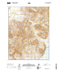
2020 Map of Cold Bay A-1 NW
USGS Topo · Published 2020About this map
Mt Dutton dominates this portion of the Alaska Peninsula, serving as a massive topographical anchor within the volcanic landscape of the Aleutian Range. This 2020 survey illustrates the dramatic geological formations of the region, including the striking Aghileen Pinnacles rising in the southern reaches of the quadrangle. The terrain is defined by extreme elevation changes and drainage systems like Delta Cr, which flows toward the coast. Human infrastructure is nearly absent from this wilderness, represented only by the remote track of Delta Creek Road. The map provides a precise look at the township and range boundaries, including t57s r86w and t58s r85w, which grid this formidable Alaskan environment.
Find a feature on this map
10 named features on this map. Tap any name to fly to it.
Don’t see what you’re looking for? This feature index may not catch every label — zoom into the map to look around manually.
Map Details
Editions of this 2020 Cold Bay A-1 NW Map
This is the sole edition of this map. No revisions or reprints were ever made.
Other maps of this area

1943 · Fort Randall
USGS Topo · 1:250,000

1949 · Fort Randall
USGS Topo · 1:250,000

1950 · Fort Randall
USGS Topo · 1:250,000
1983 · Cold Bay A-1
USGS Topo · 1:63,360
1983 · Cold Bay B-1
USGS Topo · 1:63,360
1995 · Cold Bay A-2
USGS Topo · 1:63,360
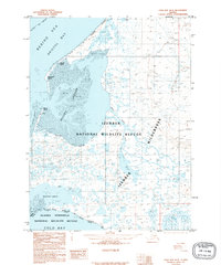
1995 · Cold Bay B-2
USGS Topo · 1:63,360
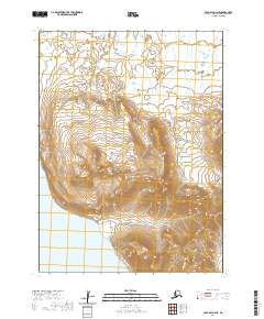
2020 · Cold Bay A-2 NE
USGS Topo · 1:25,000
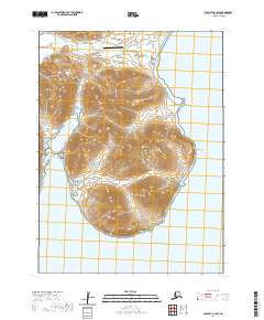
2020 · Cold Bay A-1 SW
USGS Topo · 1:25,000
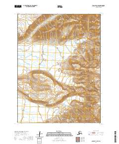
2020 · Cold Bay B-1 SW
USGS Topo · 1:25,000