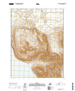
2020 Map of Cold Bay A-2 NE
USGS Topo · Published 2020About this map
Lenard Harbor indents the coastline at the southern edge of this study, where the waters of the North Pacific meet the high-relief terrain of the Alaska Peninsula. This maritime landscape is defined by the steep slopes of the Aleutian Range, where elevations rise sharply from the coast to summits exceeding 2,400 feet. The rugged topography is sparsely developed, with the King Cove Access Road serving as the primary corridor for movement through the mountain passes and along the shoreline. The mapping of these townships highlights the isolation of this portion of the peninsula, showing how transportation routes are constrained by the sheer verticality of the coastal mountains and the reach of the harbor.
Find a feature on this map
8 named features on this map. Tap any name to fly to it.
Don’t see what you’re looking for? This feature index may not catch every label — zoom into the map to look around manually.
Map Details
Editions of this 2020 Cold Bay A-2 NE Map
This is the sole edition of this map. No revisions or reprints were ever made.
Other maps of this area

1943 · Fort Randall
USGS Topo · 1:250,000

1949 · Fort Randall
USGS Topo · 1:250,000

1950 · Fort Randall
USGS Topo · 1:250,000
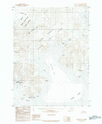
1983 · Cold Bay A-1
USGS Topo · 1:63,360
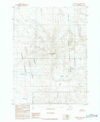
1983 · Cold Bay B-1
USGS Topo · 1:63,360
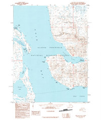
1995 · Cold Bay A-2
USGS Topo · 1:63,360
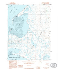
1995 · Cold Bay B-2
USGS Topo · 1:63,360
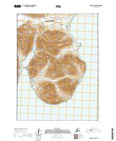
2020 · Cold Bay A-1 SW
USGS Topo · 1:25,000
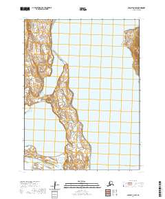
2020 · Cold Bay A-2 SW
USGS Topo · 1:25,000
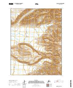
2020 · Cold Bay B-1 SW
USGS Topo · 1:25,000