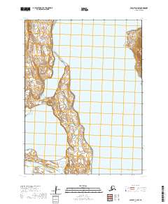
2020 Map of Cold Bay A-2 SW
USGS Topo · Published 2020About this map
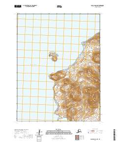
Old Mans Lagoon and Thinpoint Lake dominate the coastal topography of this section of the Alaska Peninsula. The landscape is defined by its complex shoreline and tidal features, where the land narrows into narrow spits and peninsulas reaching toward the Pacific Ocean. To the north, prominent coastal markers including Kelp Point and Kaslokan Point define the eastern edge of the landmass. This 2020 survey illustrates the raw coastal geometry of the Aleutians East Borough, showing a remote environment where water and earth are in constant negotiation. The map provides a precise look at these landforms, which are critical for maritime navigation and understanding the shifting hydrology of these subarctic lagoons and lakes.
Find a feature on this map
11 named features on this map. Tap any name to fly to it.
Don’t see what you’re looking for? This feature index may not catch every label — zoom into the map to look around manually.
Map Details
Editions of this 2020 Cold Bay A-2 SW Map
This is the sole edition of this map. No revisions or reprints were ever made.
Other maps of this area

1943 · Fort Randall
USGS Topo · 1:250,000

1949 · False Pass
USGS Topo · 1:250,000

1949 · Fort Randall
USGS Topo · 1:250,000

1950 · False Pass
USGS Topo · 1:250,000

1950 · Fort Randall
USGS Topo · 1:250,000
1963 · False Pass D-3
USGS Topo · 1:63,360

1963 · False Pass D-2
USGS Topo · 1:63,360
1995 · Cold Bay A-2
USGS Topo · 1:63,360
1995 · Cold Bay A-3
USGS Topo · 1:63,360
2020 · False Pass D-2 NE
USGS Topo · 1:25,000