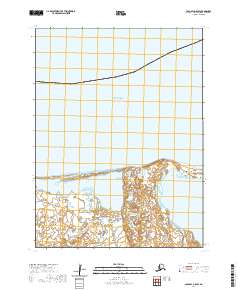
2020 Map of Cold Bay A-5 SW
USGS Topo · Published 2020About this map
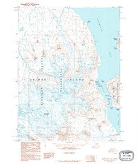
Unimak Island and the Fox Islands define the maritime landscape of this 2020 survey, where the terrestrial edge of the Aleutian Islands meets the open Bering Sea. The map focuses on a transitional coastal zone characterized by the expansive Swanson Lagoon, a complex of water and wetlands along the northern shore of the island chain. This modern cartographic record by the U.S. Geological Survey captures the intricate shoreline and drainage patterns of the eastern Aleutians, documenting the contemporary shape of these remote islands. The lack of named settlements emphasizes the wilderness character of this region, providing a detailed base for studying geomorphology and environmental change in the North Pacific.
Find a feature on this map
9 named features on this map. Tap any name to fly to it.
Don’t see what you’re looking for? This feature index may not catch every label — zoom into the map to look around manually.
Map Details
Editions of this 2020 Cold Bay A-5 SW Map
This is the sole edition of this map. No revisions or reprints were ever made.
Other maps of this area

1943 · Fort Randall
USGS Topo · 1:250,000

1949 · False Pass
USGS Topo · 1:250,000

1949 · Fort Randall
USGS Topo · 1:250,000

1950 · False Pass
USGS Topo · 1:250,000

1950 · Fort Randall
USGS Topo · 1:250,000
1989 · Cold Bay A-6
USGS Topo · 1:63,360
1989 · False Pass D-6
USGS Topo · 1:63,360
1995 · Cold Bay A-5
USGS Topo · 1:63,360
1995 · False Pass D-5
USGS Topo · 1:63,360
2020 · False Pass D-5 NW
USGS Topo · 1:25,000