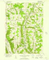
1955 Map of Colden
USGS Topo · Published 1957About this map
Cazenovia Creek and its West Branch carve through the heart of this Erie County landscape, dictating the placement of early settlements and the winding path of the Baltimore and Ohio RR. The village of Colden sits at a critical junction of the valley floor, while further north, West Falls and Griffins Mills thrive along the waterways. The western portion of the sheet is dominated by the elevations of Chestnut Ridge and the recreational expanse of Chestnut Ridge Park, a significant local landmark for the surrounding communities of Orchard Park and Boston.
Find a feature on this map
59 named features on this map. Tap any name to fly to it.
Don’t see what you’re looking for? This feature index may not catch every label — zoom into the map to look around manually.
Map Details
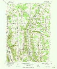
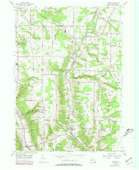
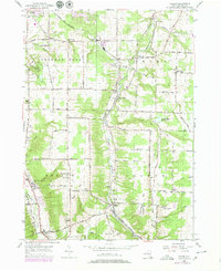
Editions of this 1955 Colden Map
4 editions found
Other maps of this area

1894 · Buffalo
USGS Topo · 1:62,500

1901 · Buffalo
USGS Topo · 1:62,500

1905 · Depew
USGS Topo · 1:62,500

1905 · Eden
USGS Topo · 1:62,500

1907 · Eden
USGS Topo · 1:62,500

1925 · Springville
USGS Topo · 1:62,500

1944 · Eden
USGS Topo · 1:62,500

1944 · Hamburg
USGS Topo · 1:31,680

1944 · Langford
USGS Topo · 1:31,680

1948 · Hamburg
USGS Topo · 1:24,000