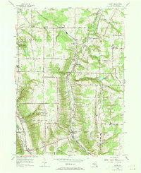
1955 Map of Colden
USGS Topo · Published 1973About this map
The Baltimore and Ohio railroad corridor anchors the rural landscape of southern Erie County, connecting several small hamlets and milk-stops as it parallels the West Branch Cazenovia Creek. The terrain is defined by the sharp transition between the upland plateaus of East Hill and South Hill and the deep creek valleys, creating the dramatic relief found within Chestnut Ridge Park. Small community centers like West Falls and Colden serve as local hubs, while smaller vanished or unincorporated points such as Jewettville, Patchin, and Griffins Mills indicate the dense 19th-century settlement pattern. Genealogists will find numerous family-named landmarks and rural burial grounds, including Maple Wood Cem and Partridge Cem, alongside local parishes like St Martins Ch and Union Ch. Modern utility infrastructure is also noted, including the TV Tower (WBEN) and the Orchard Park Reservoir.
Find a feature on this map
64 named features on this map. Tap any name to fly to it.
Don’t see what you’re looking for? This feature index may not catch every label — zoom into the map to look around manually.
Map Details
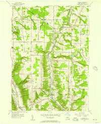
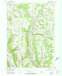
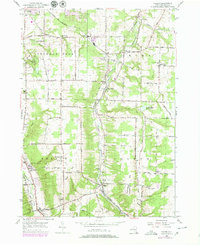
Editions of this 1955 Colden Map
4 editions found
Other maps of this area

1894 · Buffalo
USGS Topo · 1:62,500

1901 · Buffalo
USGS Topo · 1:62,500

1905 · Depew
USGS Topo · 1:62,500

1905 · Eden
USGS Topo · 1:62,500

1907 · Eden
USGS Topo · 1:62,500

1925 · Springville
USGS Topo · 1:62,500

1944 · Eden
USGS Topo · 1:62,500

1944 · Hamburg
USGS Topo · 1:31,680

1944 · Langford
USGS Topo · 1:31,680

1948 · Hamburg
USGS Topo · 1:24,000