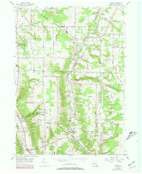
1955 Map of Colden
USGS Topo · Published 1979About this map
West Branch Cazenovia Creek winds through this rural landscape in Erie County, anchoring a series of small settlements and family farming districts during the mid-20th century. The Baltimore and Ohio railroad corridor dictates the development of hamlets like Jewettville and West Falls, where the industrial needs of the era met the winding topography of Lower East Hill. To the west, Chestnut Ridge Park stands as a prominent recreational landmark with its signature tower.
Find a feature on this map
63 named features on this map. Tap any name to fly to it.
Don’t see what you’re looking for? This feature index may not catch every label — zoom into the map to look around manually.
Map Details
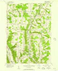
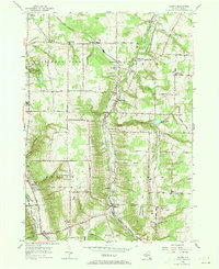
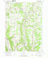
Editions of this 1955 Colden Map
4 editions found
Other maps of this area

1894 · Buffalo
USGS Topo · 1:62,500

1901 · Buffalo
USGS Topo · 1:62,500

1905 · Depew
USGS Topo · 1:62,500

1905 · Eden
USGS Topo · 1:62,500

1907 · Eden
USGS Topo · 1:62,500

1925 · Springville
USGS Topo · 1:62,500

1944 · Eden
USGS Topo · 1:62,500

1944 · Hamburg
USGS Topo · 1:31,680

1944 · Langford
USGS Topo · 1:31,680

1948 · Hamburg
USGS Topo · 1:24,000