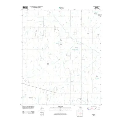
2009 Map of Cole
USGS Topo · Published 2009About this map
Oil production and rural land use define this Oklahoma landscape near Cole, where a grid of section roads like Meridian Ave and Portland Ave organizes the terrain. The area is heavily marked by energy extraction, including the North Dibble Oil Field, West Washington Oil Field, and the Iron Chapel Oil Field. These industrial operations share the landscape with small private airstrips such as Paradise Air Haven Airport and Flying A Ranch Airport, reflecting the region's mid-century and modern aviation history.
Find a feature on this map
48 named features on this map. Tap any name to fly to it.
Don’t see what you’re looking for? This feature index may not catch every label — zoom into the map to look around manually.
Map Details
Editions of this 2009 Cole Map
This is the sole edition of this map. No revisions or reprints were ever made.
Other maps of this area

1893 · Norman
USGS Topo · 1:62,500

1898 · Purcell
USGS Topo · 1:125,000

1898 · Pauls Valley
USGS Topo · 1:125,000

1902 · Pauls Valley
USGS Topo · 1:125,000

1902 · Rush Springs
USGS Topo · 1:125,000

1904 · Chickasha
USGS Topo · 1:125,000

1925 · Norman NO 2
USGS Topo · 1:24,000

1936 · Norman
USGS Topo · 1:62,500

1954 · Oklahoma City
USGS Topo · 1:250,000

1957 · Ardmore
USGS Topo · 1:250,000