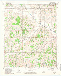
1965 Map of Cole
USGS Topo · Published 1984About this map
The community of Cole and the outlying portions of Goldsby define this McClain County landscape in the mid-1960s. The topography is shaped by the drainage systems of Walnut Creek and its North Fork, alongside Buffalo Creek and Dibble Creek. This area was a significant corridor for petroleum extraction, evidenced by the extensive Washington Oil Field, West Washington Oil Field, and the North Dibble Field.
Find a feature on this map
21 named features on this map. Tap any name to fly to it.
Don’t see what you’re looking for? This feature index may not catch every label — zoom into the map to look around manually.
Map Details
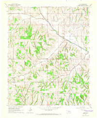
Editions of this 1965 Cole Map
2 editions found
Other maps of this area

1893 · Norman
USGS Topo · 1:62,500

1898 · Purcell
USGS Topo · 1:125,000

1898 · Pauls Valley
USGS Topo · 1:125,000

1902 · Pauls Valley
USGS Topo · 1:125,000

1902 · Rush Springs
USGS Topo · 1:125,000

1904 · Chickasha
USGS Topo · 1:125,000

1925 · Norman NO 2
USGS Topo · 1:24,000

1936 · Norman
USGS Topo · 1:62,500

1954 · Oklahoma City
USGS Topo · 1:250,000

1957 · Ardmore
USGS Topo · 1:250,000