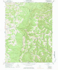
1959 Map of Colebank
USGS Topo · Published 1984About this map
Laurel Mountain serves as a massive central spine on this map, separating the drainages of Sandy Creek to the west from Licking Creek and Bull Run to the east. This mid-century survey captures a landscape defined by small ridge-top and valley-bottom communities where the legacy of early industry and local education is visible through features like Valley Furnace and a series of rural schools including Digman Sch, Murphy Sch, and Pifer Sch. The eastern section of the map reveals the emergence of energy extraction with numerous Gas Well sites dotted along the steep hollows near Hovatter.
Find a feature on this map
62 named features on this map. Tap any name to fly to it.
Don’t see what you’re looking for? This feature index may not catch every label — zoom into the map to look around manually.
Map Details
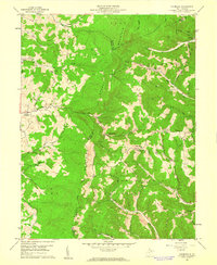
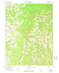
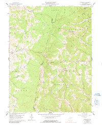
Editions of this 1959 Colebank Map
4 editions found
Other maps of this area

1886 · St. George
USGS Topo · 1:125,000

1891 · St. George
USGS Topo · 1:125,000

1907 · Thornton
USGS Topo · 1:62,500

1907 · Kingwood
USGS Topo · 1:62,500

1907 · Belington
USGS Topo · 1:62,500

1908 · Parsons
USGS Topo · 1:62,500

1925 · Kingwood
USGS Topo · 1:62,500

1926 · Thornton
USGS Topo · 1:62,500

1926 · Parsons
USGS Topo · 1:62,500

1927 · Belington
USGS Topo · 1:62,500