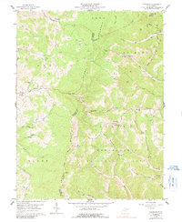
1959 Map of Colebank
USGS Topo · Published 1991About this map
Laurel Mountain and Reno Mountain dominate this West Virginia landscape, where the ridges of the Monongahela National Forest meet the deep drainages of Sandy Creek and Licking Creek. The 1950s cultural data reveals a highly localized mountain economy characterized by numerous country schools and churches positioned along winding roads and jeep trails. Many of these community hubs, such as Mt Castle Ch and the Digman Sch, are situated near traditional valley settlements like Valley Furnace and Kasson. The presence of scattered Gas Wells throughout the Licking and Clover districts signals the region's mid-century energy development. Researchers will find a terrain carved by numerous forks, including the Left Fork Clover Run and Right Fork Bull Run, illustrating the complex topography that shaped settlement patterns between Barbour, Preston, and Tucker Counties.
Find a feature on this map
54 named features on this map. Tap any name to fly to it.
Don’t see what you’re looking for? This feature index may not catch every label — zoom into the map to look around manually.
Map Details
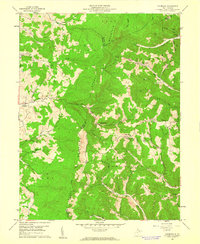
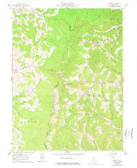
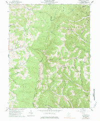
Editions of this 1959 Colebank Map
4 editions found
Other maps of this area

1886 · St. George
USGS Topo · 1:125,000

1891 · St. George
USGS Topo · 1:125,000

1907 · Thornton
USGS Topo · 1:62,500

1907 · Kingwood
USGS Topo · 1:62,500

1907 · Belington
USGS Topo · 1:62,500

1908 · Parsons
USGS Topo · 1:62,500

1925 · Kingwood
USGS Topo · 1:62,500

1926 · Thornton
USGS Topo · 1:62,500

1926 · Parsons
USGS Topo · 1:62,500

1927 · Belington
USGS Topo · 1:62,500