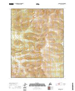
2018 Map of Coleen C-6 SW
USGS Topo · Published 2018About this map
The T32n R17e and T32n R18e townships define the northern landscape of this remote Yukon-Koyukuk region, where the terrain is marked by shifting elevation contours rather than human settlements. This 2018 survey documents a high-latitude wilderness in the Coleen River drainage area, providing a precise record of the natural topography in the northeastern interior of Alaska. The Public Land Survey System grid is the primary organizational feature here, dividing the map into T31n R17e and T31n R18e sections. For those researching land tracts or the geography of the Brooks Range foothills, this map provides the exact cadastral boundaries and elevation data required to understand the physical layout of the territory.
Find a feature on this map
4 named features on this map. Tap any name to fly to it.
Don’t see what you’re looking for? This feature index may not catch every label — zoom into the map to look around manually.
Map Details
Editions of this 2018 Coleen C-6 SW Map
This is the sole edition of this map. No revisions or reprints were ever made.
Other maps of this area

1951 · Coleen
USGS Topo · 1:250,000

1951 · Christian
USGS Topo · 1:250,000

1956 · Coleen
USGS Topo · 1:250,000

1956 · Christian
USGS Topo · 1:250,000
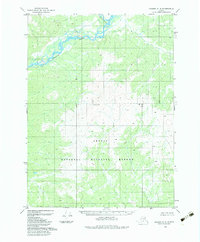
1983 · Coleen C-6
USGS Topo · 1:63,360
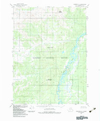
1983 · Christian C-1
USGS Topo · 1:63,360
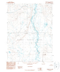
1990 · Christian B-1
USGS Topo · 1:63,360
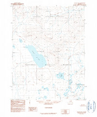
1990 · Coleen B-6
USGS Topo · 1:63,360
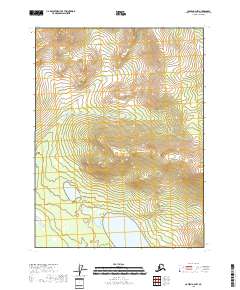
2018 · Coleen B-6 NW
USGS Topo · 1:25,000
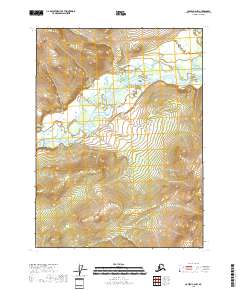
2018 · Coleen C-6 NW
USGS Topo · 1:25,000