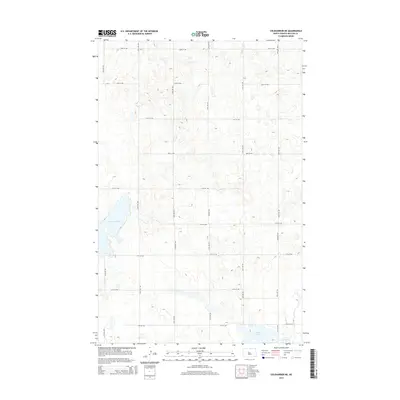
2014 Map of Coleharbor NE
USGS Topo · Published 2014About this map
Lake Audubon dominates the western edge of this prairie landscape in McLean County, where the topography is defined by the countless kettle ponds and depressions characteristic of the Missouri Coteau. This 2014 survey by the U.S. Geological Survey illustrates the rigid section-line road grid that organizes the rural territory northeast of Coleharbor, primarily consisting of numbered routes like 23rd St NW and 25th Ave NW. In the southeastern corner, the map details the shorelines of Crooked Lake and Lake Nettie, part of a complex wetland system. The map reveals the intricate drainage patterns and small-scale elevation changes across the open fields, providing a clear record of the area's hydrology and modern rural infrastructure during the early twenty-first century.
Find a feature on this map
21 named features on this map. Tap any name to fly to it.
Don’t see what you’re looking for? This feature index may not catch every label — zoom into the map to look around manually.
Map Details
Editions of this 2014 Coleharbor NE Map
This is the sole edition of this map. No revisions or reprints were ever made.
Other maps of this area

1929 · Coleharbor
USGS Topo · 1:62,500

1929 · Benedict
USGS Topo · 1:62,500

1929 · Kongsberg
USGS Topo · 1:62,500

1947 · Turtle Lake
USGS Topo · 1:62,500

1954 · McClusky
USGS Topo · 1:250,000

1958 · McClusky
USGS Topo · 1:250,000

1961 · Turtle Lake
USGS Topo · 1:24,000

1961 · Lake Nettie
USGS Topo · 1:24,000
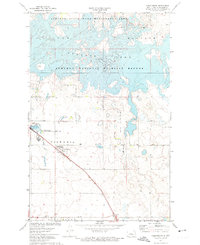
1972 · Coleharbor
USGS Topo · 1:24,000

1974 · Benedict SE
USGS Topo · 1:24,000