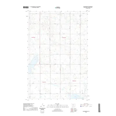
2020 Map of Coleharbor NE
USGS Topo · Published 2020About this map
The rolling plains of McLean County are defined by a dense network of glacial potholes and wetlands that characterize this Central North Dakota landscape. In the northeastern corner, Greatstone Cem serves as a lone landmark on the prairie, while further south, the First German Cem reflects the cultural heritage of the area's early European settlers. The southern boundary of the quadrangle is marked by significant water bodies, including Crooked Lake and a portion of Lake Nettie. These lakes provide a stark contrast to the surrounding sectioned farmland, which is neatly divided by an extensive grid of section roads like Co Hwy 6 and Co Hwy 23. This 2020 survey demonstrates the persistent agricultural layout of the region, where township lines like t149n r81w and t148n r82w continue to dictate the placement of local thoroughfares and farmsteads.
Find a feature on this map
31 named features on this map. Tap any name to fly to it.
Don’t see what you’re looking for? This feature index may not catch every label — zoom into the map to look around manually.
Map Details
Editions of this 2020 Coleharbor NE Map
This is the sole edition of this map. No revisions or reprints were ever made.
Other maps of this area

1929 · Coleharbor
USGS Topo · 1:62,500

1929 · Benedict
USGS Topo · 1:62,500

1929 · Kongsberg
USGS Topo · 1:62,500

1947 · Turtle Lake
USGS Topo · 1:62,500

1954 · McClusky
USGS Topo · 1:250,000

1958 · McClusky
USGS Topo · 1:250,000

1961 · Turtle Lake
USGS Topo · 1:24,000

1961 · Lake Nettie
USGS Topo · 1:24,000
1972 · Coleharbor
USGS Topo · 1:24,000

1974 · Benedict SE
USGS Topo · 1:24,000