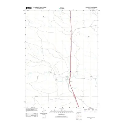
2012 Map of Coleman Butte
USGS Topo · Published 2012About this map
Cottonwood Community Hall serves as a central landmark in this high-plains landscape, where the pattern of development is defined by established family holdings and creek drainages. The area is a network of legacy properties, including the Harry Coleman Ranch, M L Coleman Ranch, and H B Coleman Ranch, centered near the prominent topographic rise of Coleman Butte. Transportation across this section of Platte County relies on a grid of rural routes such as Cottonwood Rd and Fish Creek Rd, which navigate the terrain between Table Mountain to the northwest and Pine Ridge to the northeast. Water sources like Cottonwood Cr and S Bear Cr dictate the placement of these historic ranches, illustrating the enduring relationship between livestock operations and the regional hydrology.
Find a feature on this map
23 named features on this map. Tap any name to fly to it.
Don’t see what you’re looking for? This feature index may not catch every label — zoom into the map to look around manually.
Map Details
Editions of this 2012 Coleman Butte Map
This is the sole edition of this map. No revisions or reprints were ever made.
Other maps of this area

1896 · Hartville
USGS Topo · 1:125,000

1901 · Hartville
USGS Topo · 1:125,000

1949 · Spring Creek
USGS Topo · 1:24,000

1950 · Spring Creek
USGS Topo · 1:24,000

1950 · Coleman Butte
USGS Topo · 1:24,000

1950 · Herman Ranch
USGS Topo · 1:24,000

1950 · Cottonwood Falls
USGS Topo · 1:24,000

1951 · Coleman Butte
USGS Topo · 1:24,000

1951 · Sibley Peak
USGS Topo · 1:24,000

1951 · Cottonwood Falls
USGS Topo · 1:24,000