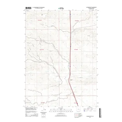
2015 Map of Coleman Butte
USGS Topo · Published 2015About this map
Coleman Butte and Pine Ridge anchor this 2015 U.S. Geological Survey representation of the Platte County landscape, where the terrain is marked by a complex network of historic roadway names. This specific area is noteworthy for its concentration of named routes that evoke various American frontier trails, including the Chisholm Trl, Bozeman Trl, and Natchez Trce, alongside The Wilderness Rd. These labels appear as named segments of the local road grid, reflecting a unique nomenclature within the township and range system of t27n r68w and surrounding sections. Water drainage is defined by Cottonwood Cr and S Bear Cr, which carve through the high plains topography near Table Mtn. The map provides a detailed view of these rural corridors and the hydrological features that dictated the movement of early travel routes through the Wyoming interior.
Find a feature on this map
24 named features on this map. Tap any name to fly to it.
Don’t see what you’re looking for? This feature index may not catch every label — zoom into the map to look around manually.
Map Details
Editions of this 2015 Coleman Butte Map
This is the sole edition of this map. No revisions or reprints were ever made.
Other maps of this area

1896 · Hartville
USGS Topo · 1:125,000

1901 · Hartville
USGS Topo · 1:125,000

1949 · Spring Creek
USGS Topo · 1:24,000

1950 · Spring Creek
USGS Topo · 1:24,000

1950 · Coleman Butte
USGS Topo · 1:24,000

1950 · Herman Ranch
USGS Topo · 1:24,000

1950 · Cottonwood Falls
USGS Topo · 1:24,000

1951 · Coleman Butte
USGS Topo · 1:24,000

1951 · Sibley Peak
USGS Topo · 1:24,000

1951 · Cottonwood Falls
USGS Topo · 1:24,000