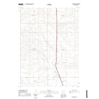
2017 Map of Coleman Butte
USGS Topo · Published 2017About this map
Coleman Butte rises as a prominent landmark in this segment of Platte County, where the high plains are carved by a network of drainage systems including South Bear Creek and Crow Creek. The landscape is defined by its massive topographic features, notably Table Mtn in the northwest and the elevated Pine Ridge to the east. The 2017 survey by the U.S. Geological Survey shows a rural infrastructure heavily reliant on named local corridors such as Coleman Rd, Pepper Rd, and the distinctively named Natchez Trce. The presence of these named ranch roads and the meandering Spring Creek illustrates the enduring cattle-country character of the region. This map provides a clear record of land divisions across several townships, from T28N R69W down to T26N R68W, documenting the intersection of modern transport and traditional ranching geography.
Find a feature on this map
24 named features on this map. Tap any name to fly to it.
Don’t see what you’re looking for? This feature index may not catch every label — zoom into the map to look around manually.
Map Details
Editions of this 2017 Coleman Butte Map
This is the sole edition of this map. No revisions or reprints were ever made.
Other maps of this area

1896 · Hartville
USGS Topo · 1:125,000

1901 · Hartville
USGS Topo · 1:125,000

1949 · Spring Creek
USGS Topo · 1:24,000

1950 · Spring Creek
USGS Topo · 1:24,000

1950 · Coleman Butte
USGS Topo · 1:24,000

1950 · Herman Ranch
USGS Topo · 1:24,000

1950 · Cottonwood Falls
USGS Topo · 1:24,000

1951 · Coleman Butte
USGS Topo · 1:24,000

1951 · Sibley Peak
USGS Topo · 1:24,000

1951 · Cottonwood Falls
USGS Topo · 1:24,000