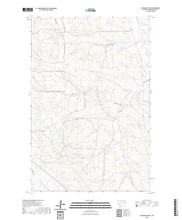
2024 Map of Coleman Coulee
USGS Topo · Published 2024About this map
Coleman Coulee and the surrounding drainages of Garfield County define this high-plains landscape in eastern Montana. The map documents a sparse, open territory carved by seasonal watercourses like Sleepy Hollow and Frozen Dog Coulee, where the topography reflects a rugged erosion pattern characteristic of the region's breaks. Human presence is light, primarily represented by the remote trace of Uall Rd winding north toward Uall Creek. The drainage patterns, including Eckman Coulee and the headwaters of Red Butte Creek, illustrate the complex watershed that feeds the larger basins of the Missouri River country. This 2024 survey provides a definitive record of contemporary land divisions across Township 14 North and Township 13 North, marking the modern boundaries of ranching tracts and public lands in this secluded corner of the state.
Find a feature on this map
12 named features on this map. Tap any name to fly to it.
Don’t see what you’re looking for? This feature index may not catch every label — zoom into the map to look around manually.
Map Details
Editions of this 2024 Coleman Coulee Map
This is the sole edition of this map. No revisions or reprints were ever made.
Other maps of this area

1954 · Jordan
USGS Topo · 1:250,000

1954 · Forsyth
USGS Topo · 1:250,000

1956 · Jordan
USGS Topo · 1:250,000

1957 · Forsyth
USGS Topo · 1:250,000

1958 · Jordan
USGS Topo · 1:250,000

1958 · Forsyth
USGS Topo · 1:250,000

1964 · Jordan
USGS Topo · 1:250,000

1965 · Rock Springs School
USGS Topo · 1:24,000

1965 · Little Chalk Butte
USGS Topo · 1:24,000

1965 · Clear Water Reservoir
USGS Topo · 1:24,000