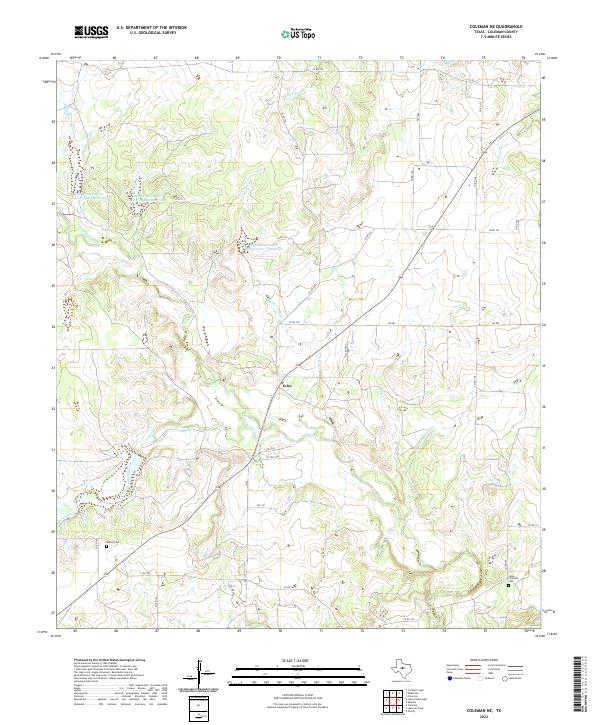
2022 Map of Coleman NE
USGS Topo · Published 2022About this map
Walker Cem and Camp Colorado Cem mark the quiet landscape of Coleman County, serving as critical landmarks for local genealogists. This part of Texas is defined by its watershed management, evidenced by numerous numbered catchments like Soil Conservation Service Site 7 Reservoir and Soil Conservation Service Site 5 Reservoir. These man-made features intermingle with natural drainage systems such as Jim Ned Cr and Indian Cr, which carve through the terrain south of the small settlement at Echo. The modern road network, including FM 2806 and FM 1176, connects isolated farm-to-market areas and private ranch roads, illustrating the shift from early settlement patterns to a contemporary rural economy focused on water conservation and land management.
Find a feature on this map
39 named features on this map. Tap any name to fly to it.
Don’t see what you’re looking for? This feature index may not catch every label — zoom into the map to look around manually.
Map Details
Editions of this 2022 Coleman NE Map
This is the sole edition of this map. No revisions or reprints were ever made.
Other maps of this area

1887 · Coleman
USGS Topo · 1:125,000

1889 · Coleman
USGS Topo · 1:125,000

1924 · Brownwood Reservoir Site
USGS Topo · 1:48,000

1927 · Grosvenor
USGS Topo · 1:62,500

1931 · Baird
USGS Topo · 1:125,000

1932 · Baird
USGS Topo · 1:125,000

1954 · Brownwood
USGS Topo · 1:250,000

1954 · Abilene
USGS Topo · 1:250,000

1958 · Abilene
USGS Topo · 1:250,000

1960 · Lake Scarborough
USGS Topo · 1:24,000