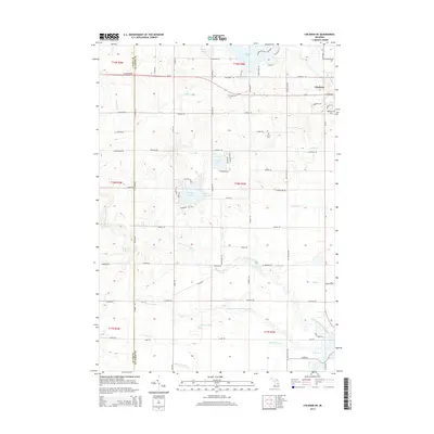
2014 Map of Coleman NE
USGS Topo · Published 2014About this map
The Gladwin area at the northeastern edge of the quadrangle serves as the primary hub in a landscape defined by the branching waters of the Tobacco River system. Numerous drains and creeks, such as Howland Cr and Howe Cr, feed into the Middle Branch Tobacco River and the North Branch Tobacco River, illustrating the intricate drainage patterns critical to the county's agricultural and natural history. The rural sections are dotted with several significant water bodies, including the uniquely named Big Lake Twenty and Little Lake Twenty, which sit near the center of the survey.
Find a feature on this map
89 named features on this map. Tap any name to fly to it.
Don’t see what you’re looking for? This feature index may not catch every label — zoom into the map to look around manually.
Map Details
Editions of this 2014 Coleman NE Map
This is the sole edition of this map. No revisions or reprints were ever made.
Other maps of this area

1954 · Traverse City
USGS Topo · 1:250,000

1954 · Midland
USGS Topo · 1:250,000

1958 · Traverse City
USGS Topo · 1:250,000

1958 · Midland
USGS Topo · 1:250,000

1959 · Midland
USGS Topo · 1:250,000

1966 · Midland
USGS Topo · 1:250,000

1969 · Wagarville
USGS Topo · 1:24,000

1969 · Meredith SW
USGS Topo · 1:24,000

1969 · Gladwin
USGS Topo · 1:24,000

1969 · Coleman
USGS Topo · 1:24,000