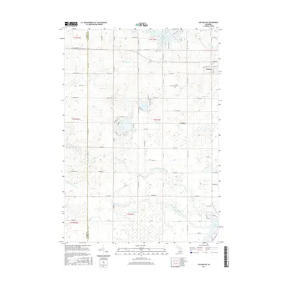
2017 Map of Coleman NE
USGS Topo · Published 2017About this map
Gladwin sits at the northeastern edge of this central Michigan landscape, where the confluence of several river branches dictates the terrain's layout. The North Branch Tobacco River and Middle Branch Tobacco River meander through the southern half of the quadrangle, feeding into Ross Lake and creating a complex system of drains and tributaries like Burleson Drain and Davidson Cr. The area is characterized by numerous small water bodies, including the geometrically named Big Lake Twenty and Little Lake Twenty, which suggest early platting or section-based identification. Local history is anchored by sites such as Grout Cem and the preserved path of an old Railroad Grade near the southeastern corner. The map also documents the border between Clare and Gladwin Counties, providing a detailed look at rural road networks such as E Mannsiding Rd and Kerswill Rd that connect these dispersed lakeside settlements.
Find a feature on this map
87 named features on this map. Tap any name to fly to it.
Don’t see what you’re looking for? This feature index may not catch every label — zoom into the map to look around manually.
Map Details
Editions of this 2017 Coleman NE Map
This is the sole edition of this map. No revisions or reprints were ever made.
Other maps of this area

1954 · Traverse City
USGS Topo · 1:250,000

1954 · Midland
USGS Topo · 1:250,000

1958 · Traverse City
USGS Topo · 1:250,000

1958 · Midland
USGS Topo · 1:250,000

1959 · Midland
USGS Topo · 1:250,000

1966 · Midland
USGS Topo · 1:250,000

1969 · Wagarville
USGS Topo · 1:24,000

1969 · Meredith SW
USGS Topo · 1:24,000

1969 · Gladwin
USGS Topo · 1:24,000

1969 · Coleman
USGS Topo · 1:24,000