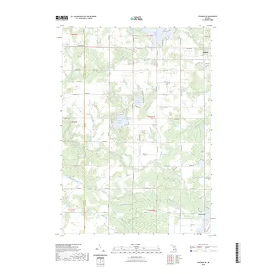
2023 Map of Coleman NE
USGS Topo · Published 2023About this map
The North Branch Tobacco River and Middle Branch Tobacco River define the watery landscape of this Gladwin County region, where the cities of Gladwin and Beaverton anchor the northern and southern edges. This area is characterized by a dense network of tributaries and drains, including the Burleson Drain and Carr Drain, which feed into larger water bodies like Wiggins Lake and Ross Lake.
Find a feature on this map
90 named features on this map. Tap any name to fly to it.
Don’t see what you’re looking for? This feature index may not catch every label — zoom into the map to look around manually.
Map Details
Editions of this 2023 Coleman NE Map
This is the sole edition of this map. No revisions or reprints were ever made.
Other maps of this area

1954 · Traverse City
USGS Topo · 1:250,000

1954 · Midland
USGS Topo · 1:250,000

1958 · Traverse City
USGS Topo · 1:250,000

1958 · Midland
USGS Topo · 1:250,000

1959 · Midland
USGS Topo · 1:250,000

1966 · Midland
USGS Topo · 1:250,000

1969 · Wagarville
USGS Topo · 1:24,000

1969 · Meredith SW
USGS Topo · 1:24,000

1969 · Gladwin
USGS Topo · 1:24,000

1969 · Coleman
USGS Topo · 1:24,000